
A bit of history
Our Heritage Lottery Fund award will enable us to learn more of the mill’s past from archaeological work by professionals, and a local history study led by volunteers, as parts of the three-year project. The process began as our application developed, with a report on the working parts by Martin Watts, a national authority on mills, in 2014, and a survey by Wardell Armstrong Archaeology in 2016.
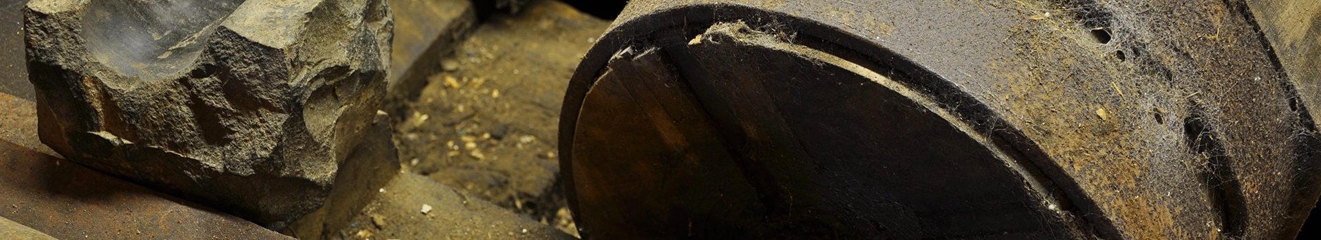
The present mill building is orientated north-south, built into the slope parallel with the road from the village. Both reports concluded that the original mill was a much shorter building, with a roofline running east-west, and a single water-wheel on the gable end facing the beck. This possibly Tudor building has been encased by later extensions on three sides : the kiln and drying room to the north, the present main entrance with its cart door to the west, and an extension to accommodate the second water-wheel to the south, with the bakehouse at the end.
Most of the exterior dates from the eighteenth or nineteenth century. It is fairly certain that the cottage was built around 1756, but dating the mill extensions is more difficult. The best clue, for the addition to the north, is the inscription M Tyson / DT 1819 (probably Matthew and Daniel Tyson) on a wall near the mouth of the kiln; John Tyson owned the mill at the time. There seems to be no evidence so far for dating the western extension, where the present gable end facing the road, remarkably for such a tall structure, is a dry-stone wall.
Successive editions of the mill guidebook since 1976 date the southern addition and the second wheel to soon after 1737, when Edward Hartley’s purchase of the mill from Edward Stanley included Dalegarth timber for a new wheel. This seems to be supported by the date 1740carved on a lintel in the southern interior wall.
However the 2016 archaeological survey concludes that the second wheel was not added until the early nineteenth century, and that the 1740 lintel is not in its original position. This challenge is based first on a large plan drawn in 1795 for use in the enclosure case of Sharpe v Tyson, which still shows the mill as aligned east-west. Secondly the authors rely on a drawing of the mill by the young JMW Turner from around 1798, showing a single wheel on an east facing gable end.
Of course, Hartley might have replaced his existing wheel around 1740, rather than adding a second, but there are questions about these conclusions which I hope the local history project will resolve. The 1795 plan was produced to show the position of a controversial fell wall, not the exact position of buildings in Boot. Turner’s drawing, done in London by copying another work before he ever visited the Lake District, is an art student’s exercise, not necessarily intended to be an accurate representation, and some features are clearly fanciful.
Paul Pharaoh
© 2026 Eskdale Mill & Heritage Trust. Registered charity in England and Wales (1113837). Registered company in England and Wales (05743618).